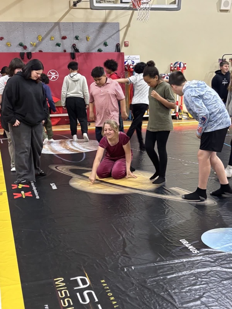
The Oklahoma Alliance for Geographic Education (OKAGE) with the help of the National Geographic Society created a Traveling Maps program for Oklahoma schools. The Traveling Maps program includes Giant Maps that are designed to engage students while building literacy, science, technology, engineering, and math skills. These maps also follow the Oklahoma Play to Learn Act.
Thanks to Mrs. Hebert, Northwoods students learned about our Solar System using one of OKAGE's Traveling Maps. Students were able to walk on and engage with the map through games and movement.